Pobena.
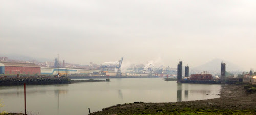
We left our warm Bilbao albergue about 0630. There was a choice of 3 different routes. We crossed over the bridge and walked down the right side of the river. It is less industrial on that side.
You walk for a couple of hours until you arrive across the river from Portugalete. There are 2 ways to cross the river. One by a small boat and the other by a hanging ferry that is suspended by cables from a suspension bridge. After you leave this air ferry, you take escalators up the hill to the center of town. This pleased is no end. They have theses electric staircases through out the city. We stopped in a lovely bakery for coffee, fresh orange juice and a sweet roll.
From Portugalete to Pobena there is a large well marked pedestrian and bicycle path. We were fortunate to encounter a Spaniard that walked 10 to 12k of the route daily. He had also walked the camino to Santiago. He gave us tips and kept us amused for a good part of the walk. Unfortunately, it started raining as soon as we left Bilbao soaking us by the time we got to Pobena.Joan asks the locals if we should follow the camino path or highway 634, the old coastal road. A new freeway has been construed which takes most the traffic off the 634. When it is raining, they all recommend staying on the road. They also say that it is raining more than it usually does this time of year.
To avoid the race for beds, showers and lower bunks, we made reservations for a Pension La Mar in Castro-Uradiales.
Stu uses MotionX-GPS on the iPhone and is sharing with you the following track:
| Name: | Pobena | |
| Date: | May 21, 2013 6:24 am | |
| Map: (valid until Nov 18, 2013) | View on Map | |
| Distance: | 25.2 kilometers | |
| Elapsed Time: | 7:14:47 | |
| Avg Speed: | 3.5 km/h | |
| Max Speed: | 11.8 km/h | |
| Avg Pace: | 17' 14" per km | |
| Min Altitude: | 0 m | |
| Max Altitude: | 125 m | |
| Start Time: | 2013-05-21T04:24:24Z | |
| Start Location: | ||
| Latitude: | 43º 15' 45" N | |
| Longitude: | 2º 57' 39" W | |
| End Location: | ||
| Latitude: | 43º 20' 44" N | |
| Longitude: | 3º 07' 34" W | |


No comments:
Post a Comment