We left our lovely albergue in Santa Irene after a good nights sleep and a delicious homemade dinner. We met George in fromt of a cafe Che in Pedrouzo. After a cup of coffee and toast with jam, we started our last treck together. We walked up some dirt roads with probably more pilgrims than we had seen in a month. We passed through a town called Lavacolla. In the old years, the pilgrims would wash themselves from head to foot in a little brook before entering Santiago. We of course have had so much rain we felt well washed. Finally we arrived at Monte de Gozo. Translated it means mount of joy. This is the place where you could see the towers of the cathedral about 5k away until the city grew so big as it is today. The Cathedral of Santiago whose construction began in 1075 is one of the great European monuments. From its Romanesque origins it evolved through a number of styles. The baroque elements are probably the most out standing. During a visit to the cathedral the pilgrims carry out a ritual. You go to the chapel of the main alter to touch or embrace the statue of St James the apostle. You then go to the pilgrims office to receive your Compestela that certifys you made the pilgrimage. We walked through the cathedral and waited in line at the pilgrims office for our Compestela. Afterwards, we went to the Hostel Bolarado and George went to an Albergue he has stayed at several times. We met for lunch and George treated us to a delicious lunch at the resturaunt Casa Manolo which is well known in Santiago. After a walk and another beer we had to say good by to our friend and leader, George. He will be walking on to Finisterra and Muxia.
Many pilgrims.
Getting closer.
Finally sun at the Mt. Gozo
Mountain of Joy.
Our Grandest reward. Cathedral at Santiago.
Who carried whom?
A Back street
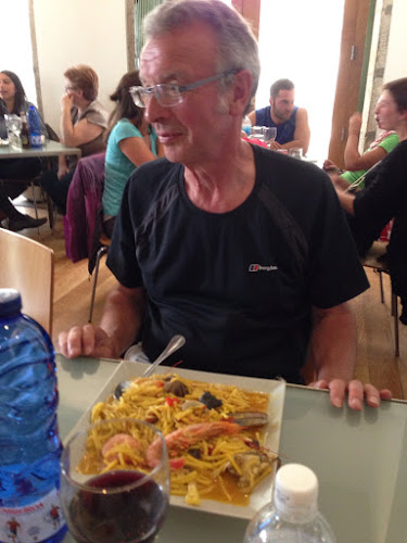
Casa Manolo. Thank you George for the final delicious meal and wearing your new pants.
George, once you stop walking you will have to cut back on portion size.
Lined up to receive Compostela.
The End. Thanks for joining us. Joan and Stu
OTHER BLOGS:
Caminowalkabouteurope.blogspot.com
Caminowalkaboutnorthcoast.blogspot.com
Caminowalkaboutpinnacles.blogspot.com
Caminowalkaboutgermany.blogspot.com
Click on "View on Map" below
Stu uses MotionX-GPS on the iPhone and is sharing with you the following track:
| Name: | Santiago de Compestela | |
| Date: | Jun 14, 2013 6:21 am | |
| Map: (valid until Dec 11, 2013) |
View on Map | |
| Distance: | 23.4 kilometers | |
| Elapsed Time: | 5:23:29 | |
| Avg Speed: | 4.3 km/h | |
| Max Speed: | 5.8 km/h | |
| Avg Pace: | 13' 49" per km | |
| Min Altitude: | 246 m | |
| Max Altitude: | 400 m | |
| Start Time: | 2013-06-14T04:21:12Z | |
| Start Location: | ||
| Latitude: | 42º 55' 01" N | |
| Longitude: | 8º 19' 56" W | |
| End Location: | ||
| Latitude: | 42º 52' 47" N | |
| Longitude: | 8º 32' 33" W | |


